The route · State Highway 8 + 1 · Tekapo to Christchurch · Return
Travel for the moments in between.
Distance
225km
Duration
3h 30m
Stops
62 endpoints, 4 enroute

From alpine landscapes to fertile plains, discover the beauty between the Mackenzie Basin and Canterbury. Cross a mountain pass, travel through lush countryside, and watch the scenery unfold - here’s what passes your window.
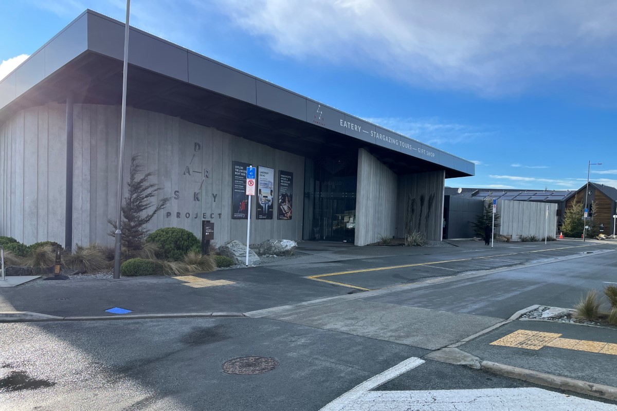
The morning departure is from the bus stop outside the Dark Sky Project building at 1 Motuariki Lane. Set against the breath taking backdrop of the Southern Alps, you’ll be just a stone’s throw from the iconic Church of the Good Shepherd, with the lake foreshore transformed in November and December by a spectacular display of lupins. Departure is at 9:15am sharp.
Gateway to the Mackenzie
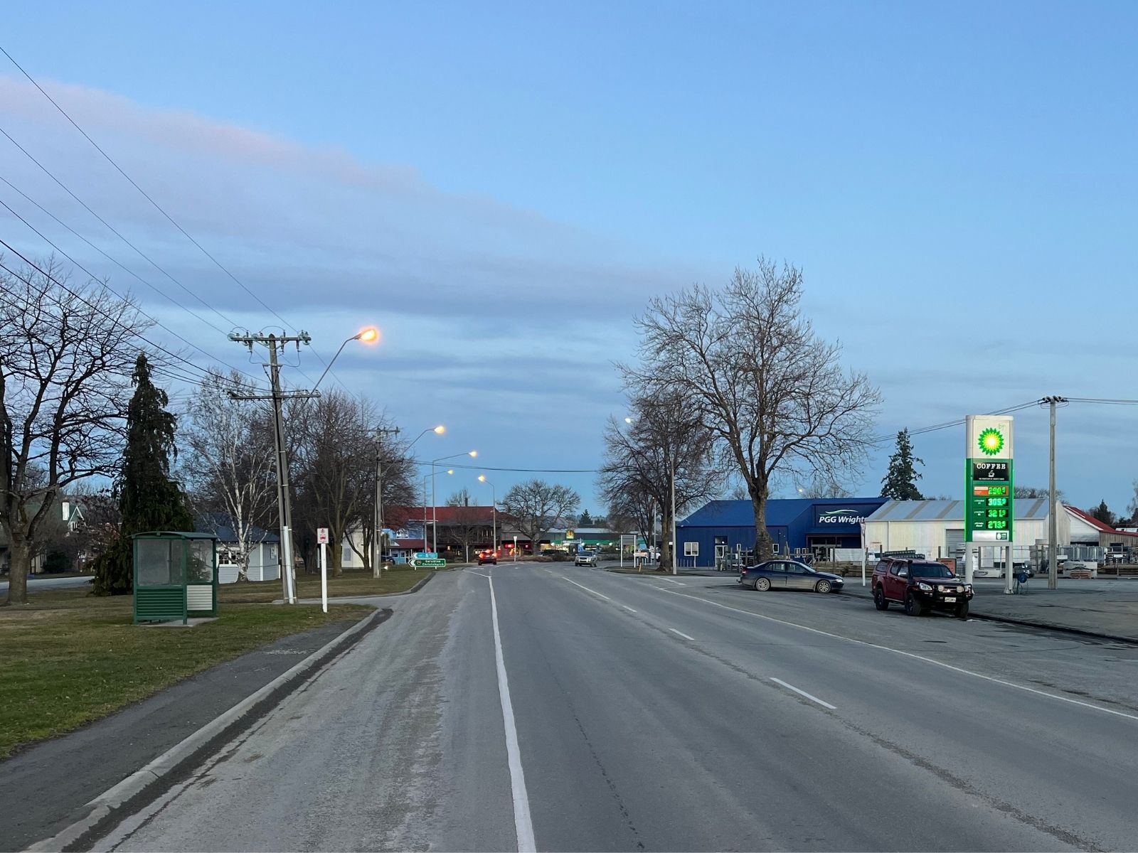
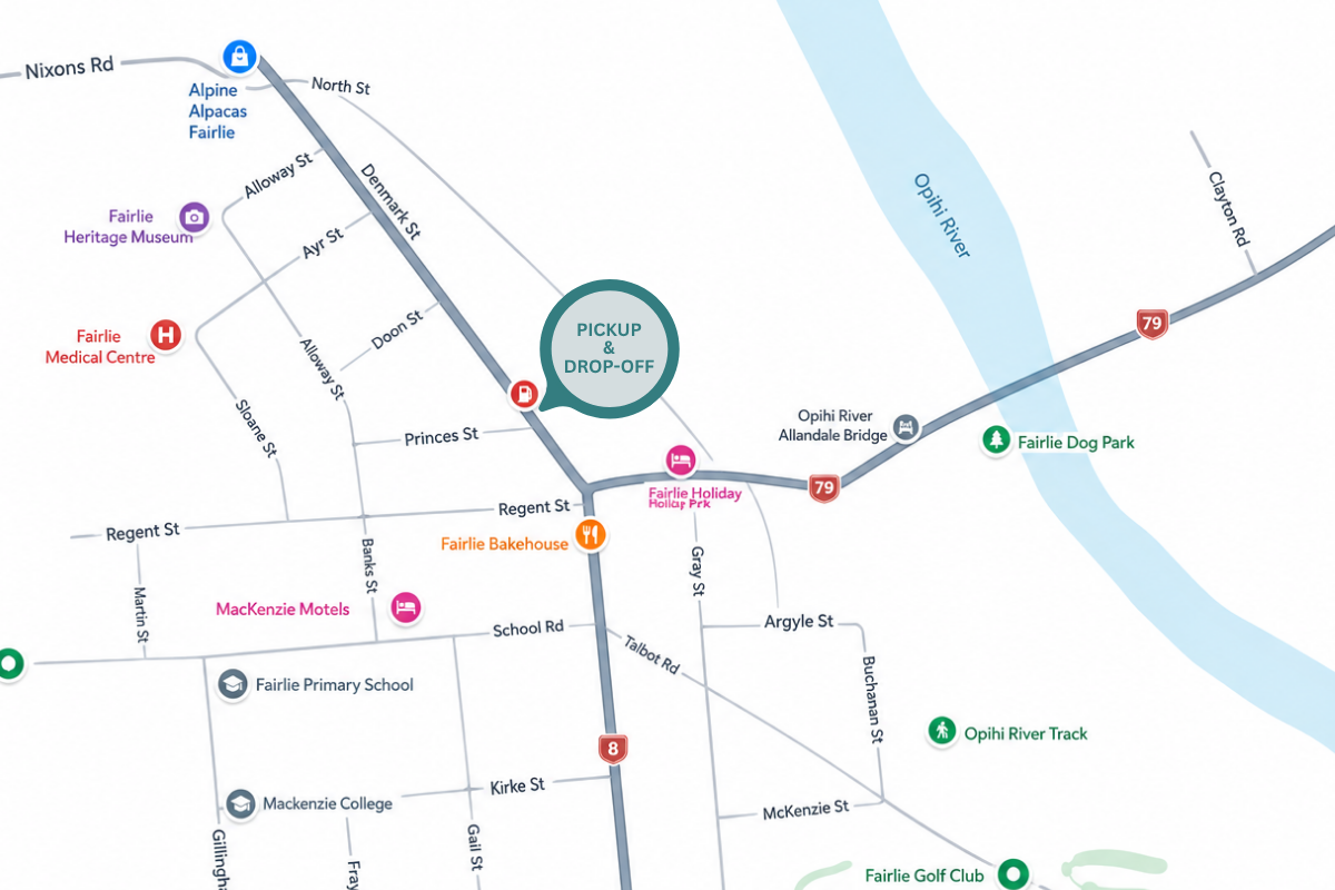
A brief stop for pre-booked drop-offs and pick-ups on the edge of the basin. Fairlie marks the transition from sweeping tussock landscapes to the lush green farmland of Canterbury - historically known as the last fuel stop before heading into the high country.
The halfway mark
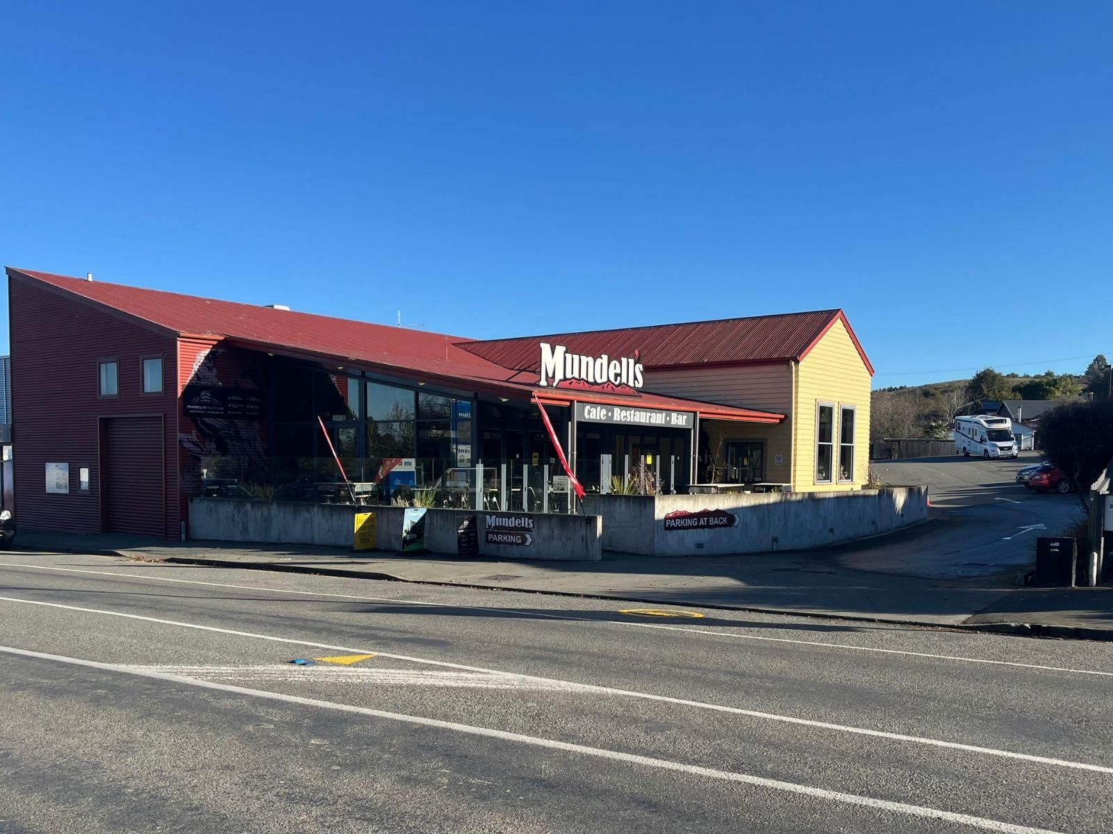
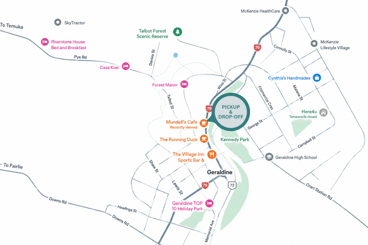
The longest stop of the journey - take 10 minutes to stretch your legs, refresh, and use the facilities. Geraldine welcomes you with its towering exotic trees, vibrant creative arts scene, and renowned artisan food offerings.
Mid-Canterbury
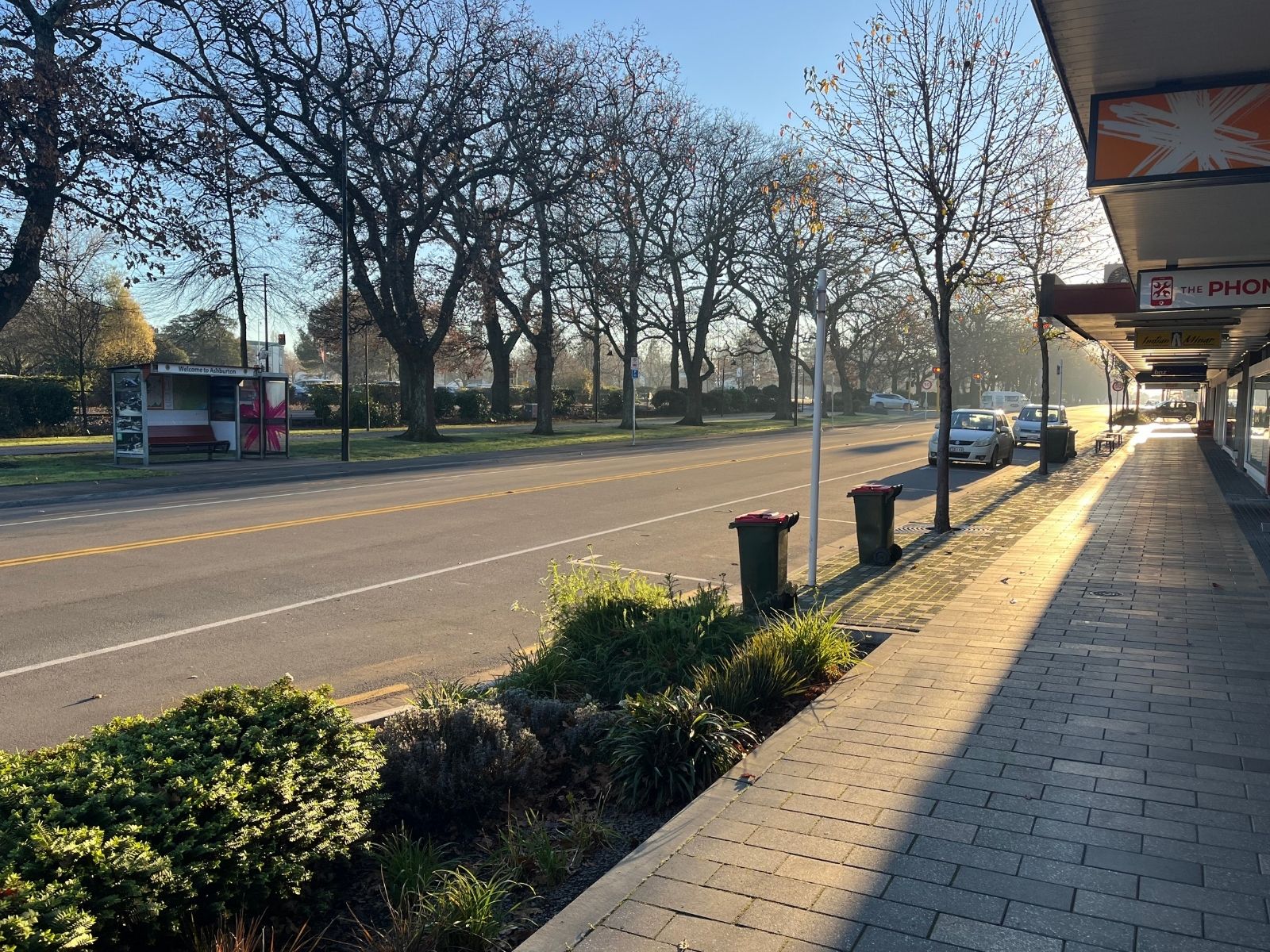
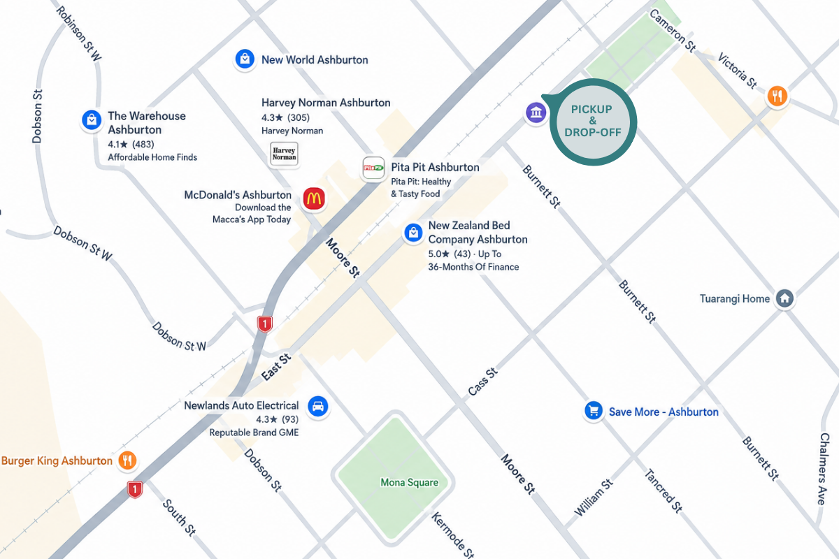
The main town on the Canterbury Plains, out on the open flats roughly midway between the mountains and the city. A brief stop for pre-booked pick-ups and drop-offs as the bus crosses the patchwork of irrigated farmland.
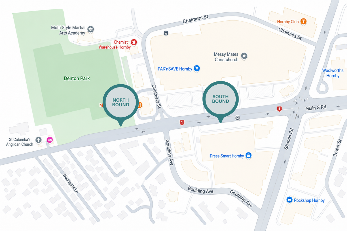
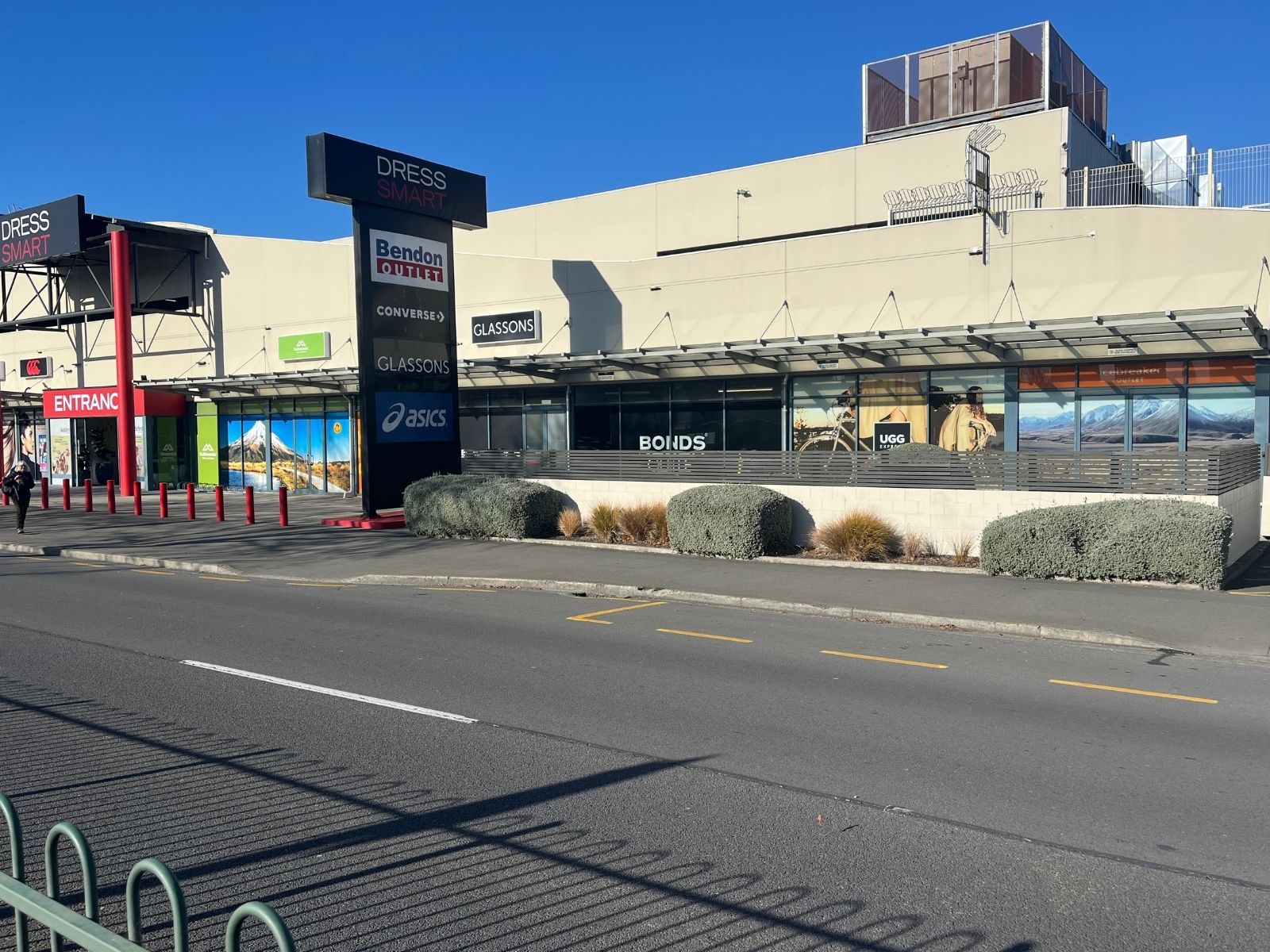
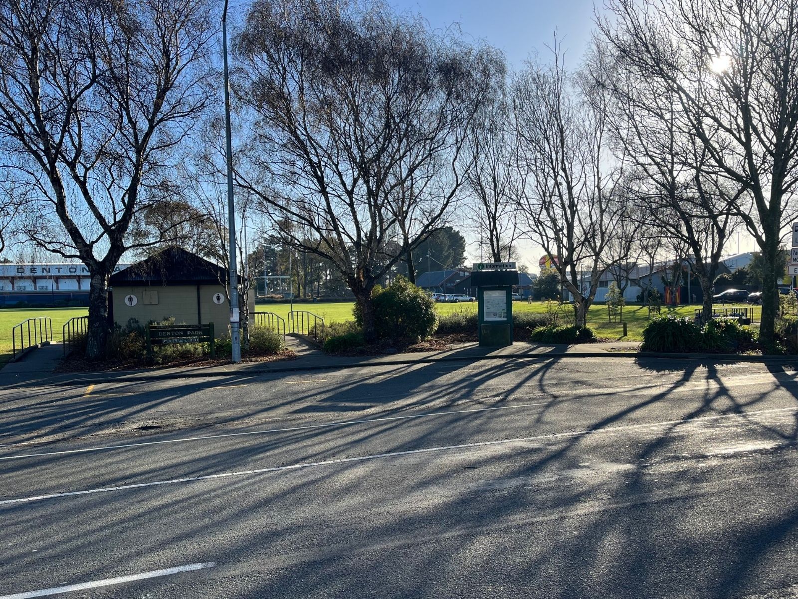
A brief stop for pre-booked drop-offs and pick-ups on the southwestern edge of Christchurch. This is a convenient option for passengers wanting to explore the city - step off here and connect with Christchurch’s metro service, with buses running approximately every 20 minutes into the city centre.
Plan your metro connection at metroinfo.co.nz →
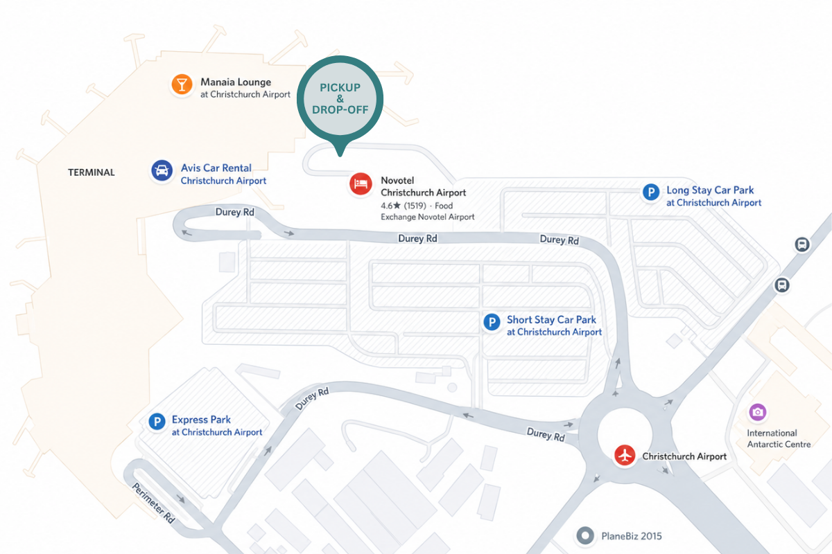
Arrive and depart with ease from the dedicated bus parking area, ideally located beside the Novotel Airport Hotel and directly adjacent to the International Terminal entrance.
Book your seat online in under two minutes
- instant confirmation.

Daily Service Linking Lake Tekapo with Christchurch Airport